Navigate, Explore, Discover
Your World
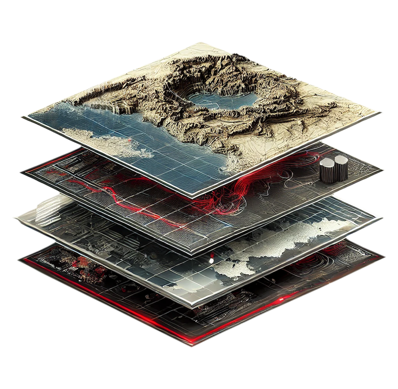
T-Kartor™ transforms complex geospatial information into actionable insights, helping you overcome challenges,
explore new possibilities, and discover innovative approaches for your organization's success. Our advanced solutions
for information management, analytics, and wayfinding enable informed decisions that drive safety, security, and growth.
Established Roots,
Global Reach
For over 35 years, T-Kartor has combined advanced geospatial tradecraft with cartographic expertise to deliver cost-effective, high-quality solutions, maintaining a legacy of innovation and reliability in the geospatial industry while upholding values of integrity, agility, and excellence.

Empowering Key Industries
From public safety and civic transportation to defense, T-Kartor delivers specialized geospatial solutions that empower key industries to achieve operational excellence and mission success. See how we help industry leaders navigate location-based challenges and achieve their goals with precision through cutting-edge tools and tailored services.


Platform Features

GeoLite
Small install footprint and OS versatility. Windows, Linux, Android & Raspbian.

GeoSync
Visualize assets on a map, with real-time updates of locations and status.

GeoLink
A single platform that connects to a wide array of data sets.
Charting New Paths for Progress
Our platform enables organizations to manage, discover, analyze, and share data across siloed environments (both secure and open). We’ve created geospatial solutions specialized in the conflation of data, automating cartographic production, and improving decision making through streamlining analysis.

T-Kartor Iris® brings structure, control, and clarity to complex geospatial data. A secure, scalable platform that lets teams collect, organize, visualize, protect, and share spatial information, so everyone gets the data they need, when they need it.

T-Kartor is your trusted partner in developing and implementing custom geospatial solutions powered by Iris®. These solutions are designed to extend our product platform with custom functionality, aiding decision-making in even the most critical operations.
T-Kartor has a rich history of collaborating alongside our esteemed colleagues. Our geospatial expertise spans a wide range of capabilities from cartographic map production, geospatial data production, wayfinding design and support, and custom application development.
Request a Demo
Schedule a meeting with our experts to discover how our spatial solutions can benefit your organization.