
Specialised geospatial solutions and services to military customers worldwide
T-Kartor provides superior solutions and services to meet our customers’ geospatial demands, enabling large organisations to locate, retrieve and share dispersed geospatial data for collaboration and decision making.

Services – Map Production
T-Kartor has a large team of experienced Cartographers, Source Data analysts and GIS specialists, today more than 80 people worldwide. We have developed our own cartographic production tools to achieve the world’s most efficient and secure production environment.
Customer Cases – Defence

Norwegian Armed Forces
T-Kartor has developed a central web-based geospatial data management system enabling collaboration and sharing of data in a secure way across your organisation and between multiple security levels (up to NATO Secret/Top Secret).

National Geospatial Intelligence Agency (NGA)
Since 2009 T-Kartor USA has actively supported the National Geospatial-Intelligence Agency (NGA) mission of delivering quality datasets while continually innovating the workflow, resulting in production efficiencies and reduced costs.

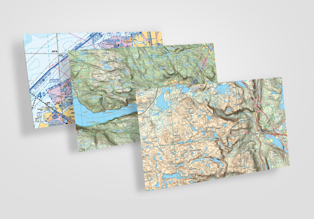
Royal Norwegian Air Force
Royal Norwegian Air Force has since 2004 continuously selected T-Kartor as partner for production of classified aeronautical charts. T-Kartor now delivers more than 10.000 products/year.