
Royal Norwegian Air Force
Each AIRAC T-Kartor delivers continuously updated aeronautical products for every purpose
Context
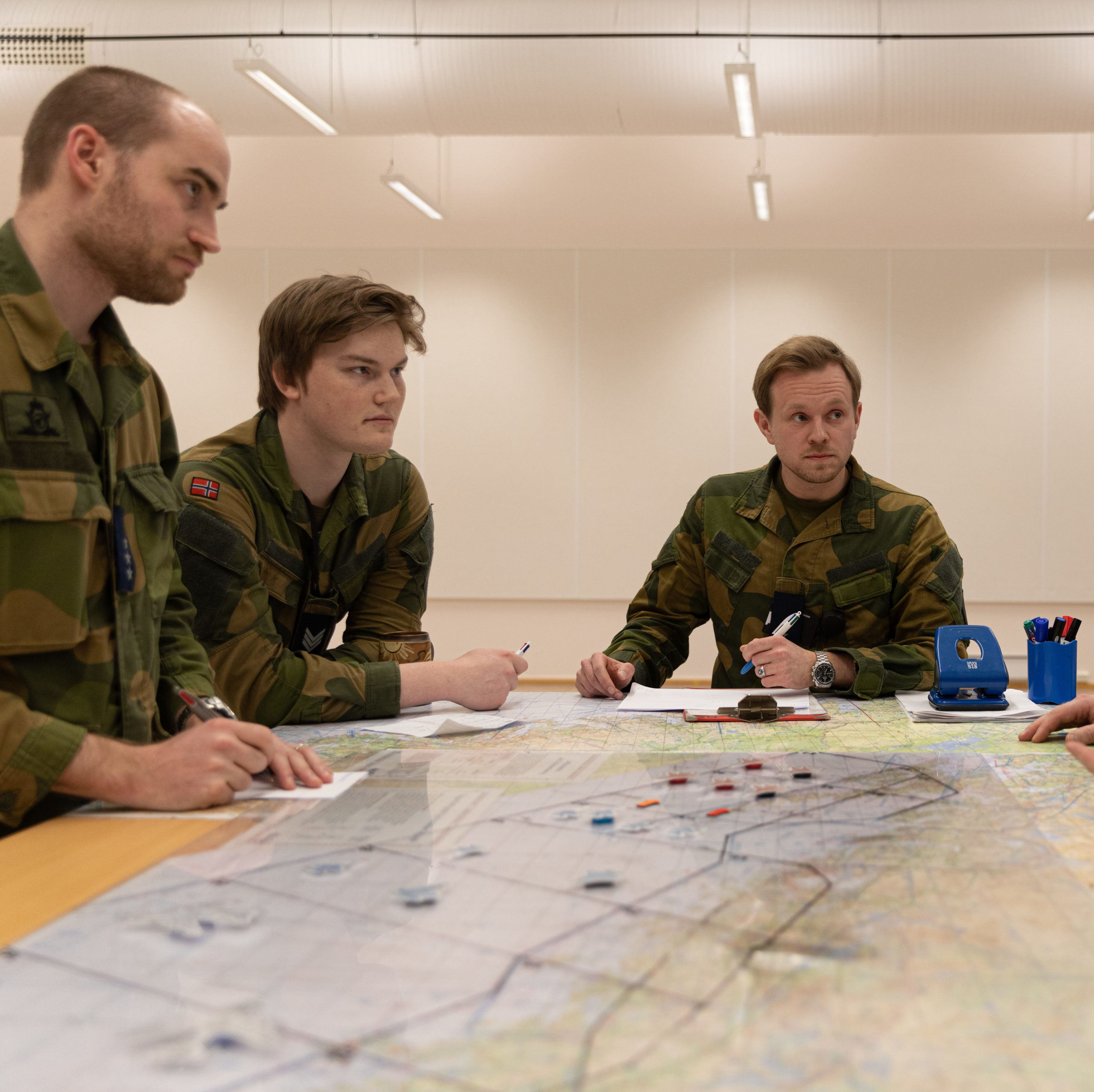
Since 2004 T-Kartor has continuously won classified contracts for outsourced aeronautical production for the Royal Norwegian Air Force. T-Kartor delivers more than 10.000 products/year including responsibility for the quality and delivery of all products. This includes weekly vertical obstacle analyses and creation of NOTAM (Notice to Airmen), handling of 100.000 updates and producing more than 100 NOTAMs/year.
Scope
The current contract includes creation and continuous maintenance of a seamless geospatial database, based on multiple sources, covering over 6 million sq km, with continuous production of Low Flying Charts, Enroute Serie 6 and 7 and digital rasters optimised for each moving map system including CADRG. All products are delivered every AIRAC-cycle, The production is based on EC regulation 73/2010 and Norwegian Defence Quality Regulations based on NATO AQAP 2120 Ed3 and ACMP-2100 EdA V.
Advanced technology
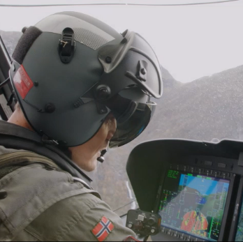
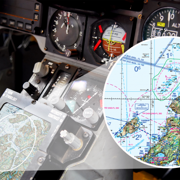
T-Kartor has been deeply involved in the project New symbology to create cartographically harmonised products based on streamlined dataflows and enhanced representation of cluttered areas both with technology and cartographic skills. Automated clustering of vertical obstacles in different scales (see picture above) has been successfully performed and is now used in the standard production process. This also included Print-On-Demand where all products are Printed on Demand directly on high capacity printers in each squadron.
Deliverables
The AIRAC based production is streamlined based on a seamless database built from more than 20 data sources using the one-feature-one-time strategy where an update is done once for all scales. Today the production totals more than 10.000 products/year, in 5 different chart products in scale 1:50K, 1:100K, 1:250K, 1:500K and 1:1.000K, including GeoTIFFs, CADRGs, DTED, MBTiles, Geopackage and PrintonDemand files.
Reference Statement
”T-Kartor are providing aeronautical update services according to AIRAC to the Norwegian Air Force together with printed charts and other Digital Geographic Information. T-Kartor’s capability to deliver additional services related to ongoing Research & Development is also noteworthy.”
Kjetil Utne
Former director FMGT, Norwegian Defence