
Norwegian Armed Forces
T-Kartor has developed a central web-based geospatial data management system enabling collaboration and sharing of data in a secure way across your organisation and between multiple security levels (up to NATO Secret/Top Secret).
Context
GIMS is a successful operational solution for high security web delivery of geospatial information. The Norwegian Defence uses GIMS (called GT) as its core data management system. It was developed by T-Kartor and delivered to The Norwegian Armed Forces and accredited in 2016. Thousands of users are connected to the system.

Scope
T-Kartor’s secure online geospatial solutions enable large organisations to locate, retrieve and share dispersed geospatial data for collaboration and decision-making
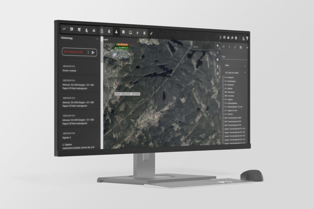
GIMS web-based platform puts a world of information at your fingertips. As a core solution it handles all data in a geospatial context, improving the basis for collaboration and information sharing between internal and external organisations.
Deliverables
GIMS data management application makes it easy to locate, retrieve and share geospatial data, wherever it is located. Delivery of timely, relevant and actionable information allows you to make swift, informed decisions. Users across your organisation can quickly locate critical intelligence with advanced discovery and filtering capabilities. Whether in the field or in an operations/data center, users will have access to the data they need to make decisions with a high degree of confidence