
Fire and Rescue Services in Alingsås
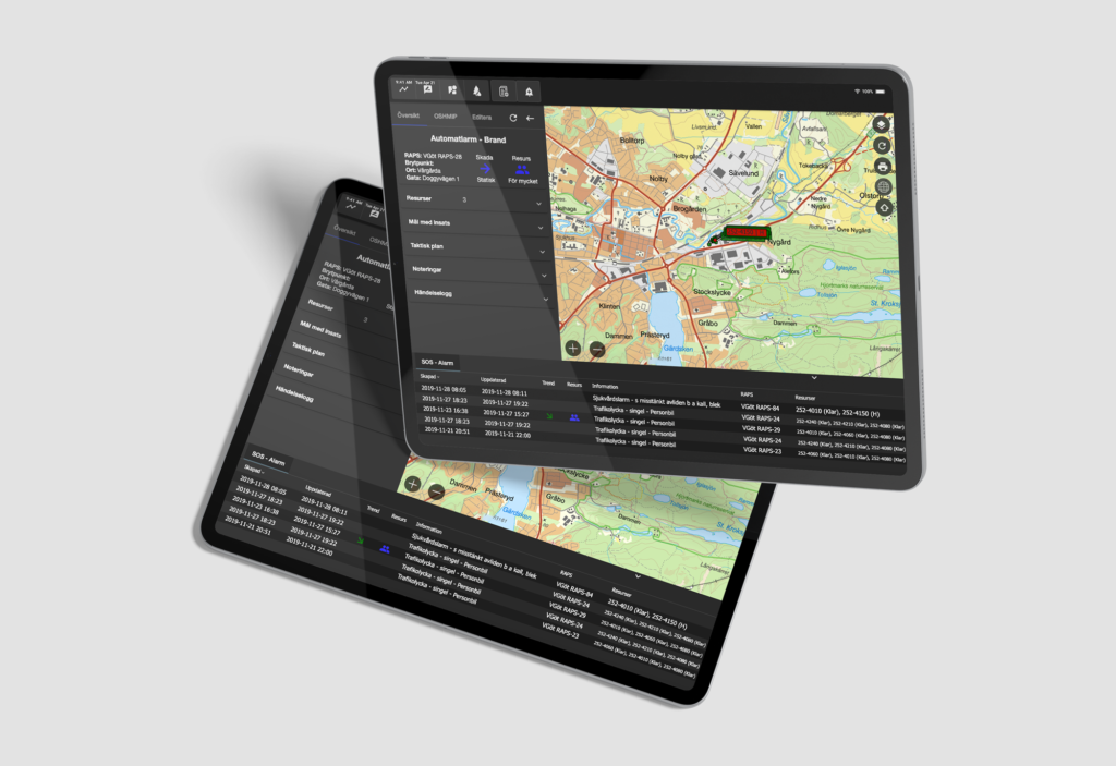
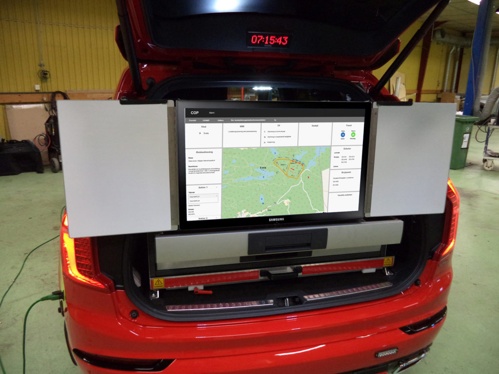
T-Kartor has, together with emergency services in Sweden, developed an intuitive and user-friendly command and control system to provide a Common Operational Picture (COP) of an ongoing emergency.

Context
In close collaboration with several local rescue services, T-Kartor has developed an operational staff and management system to provide a Common Operational Picture of an ongoing situation to actors from the alarm centre to internal and external managers. Alingsås and Vårgårda have been active in the process and today use COP as an activity-critical system for all their emergencies.
Scope
COP provides increased security and understanding between all units controlled by the emergency service and its partners. The system collates all relevant data from diverse sources (both external and internal) including the Swedish Transport Administration, SMHI weather services, Land Registration Authority blue light maps, the Swedish Civil Aviation Administration, MSB etc. and integrates it with mapping from the municipality GIS unit including fire mail storage, flood risk, etc. in a user-friendly, shared interface.
Deliverables
Working closely with the emergency services during routine operations we have developed many useful new functions, such as APIs to integrate data streams. These include Swedish Transport Administration road cameras, drones, live vehicle camera streams and forest fire data from the voluntary Air Rescue Corps. The system also offers an advanced drawing tool producing symbology on multiple layers for layering of complex information.