

Boosting Cybersecurity With GIS Tools
Cybersecurity has long been a topic of conversation for organizations of all sizes. Still, the exponential rise in remote working and teaching due to the pandemic has pushed this topic into the spotlight. A data breach can cause a company an average of $4 million in damages, and that money is not likely accounted for in the annual budget.
The tools that cybersecurity professionals use to fight off bad actors have evolved so much in such a short time and now include a list of geospatial intelligence tools and strategies.
“Connecting cybersecurity activity to a geographic layer provides the foundation from which shared situational awareness can be achieved. A truly comprehensive GIS platform must be able to support user workflows, collaboration and the dynamic situational awareness necessary to meet a variety of mission requirements. The technology that can deliver these capabilities is available on many networks and from devices such as tablets and smartphones, providing personnel with access to information and data to support decisions for awareness, prevention, protection, response and recovery. The location intelligence that runs through a GIS platform can be quickly accessed, understood and shared to support coordinated actions.”
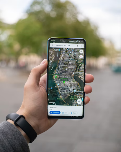
Real-Time Mapping
Much of preventing cybersecurity breaches involve tracking attacks in real-time to look for patterns. Spatial data offer quantifiable, actionable statistics that help cybersecurity professionals plan and execute their response to mitigate issues. Perpetrators leave a trail – whether they like it or not – and every point of contact they have with their systems or an organization offers a spatial data set that connects the dots.
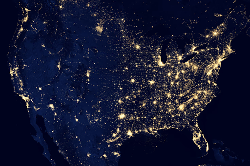
Infrastructure Security
Recent breaches of critical infrastructure, like electrical grids and water supply infrastructure, only highlight the need to tap into geospatial data to help protect the essential functions of our communities. Many utility companies already have GIS data on hand and use it for many other functions and processes; cybersecurity professionals can use it to look for indications that systems are being breached.
Protecting GIS Data
One of the most significant advantages of utilizing geospatial data is that it is open-source and available for the general public to access. However, there may be proprietary geospatial data that organizations (or the military) need to keep confidential or classified. When cybersecurity professionals work to protect this data, they must add an additional layer to their protection strategy and clearly define access protocol.
Ultimately, geospatial data is quickly becoming a ubiquitous tool across all industries. Whether it’s being used to increase cybersecurity or your IT professionals are looking for a way to protect your data, there are important considerations to keep in mind. When it’s time to establish a geospatial data strategy for your organization, work closely with a partner with a long history of experience working with organizations and cities that need efficient solutions for security, big data management, sustainable mobility, and much more.
We focus on developing data platforms and related applications using open source technology. We work with agile software development and provide technology as a licensed or cloud solution. Let’s talk more!


