Unlock Comprehensive Resources
Unlock Comprehensive Geospatial Insights, Tools, and Techniques to Drive Enhanced Decision-Making, Operational Efficiency, and Innovation Across Defense, Public Safety, and Urban Navigation.
Company Overview
Download our company overview to learn how we can empower your organization with cutting-edge mapping and location intelligence solutions.
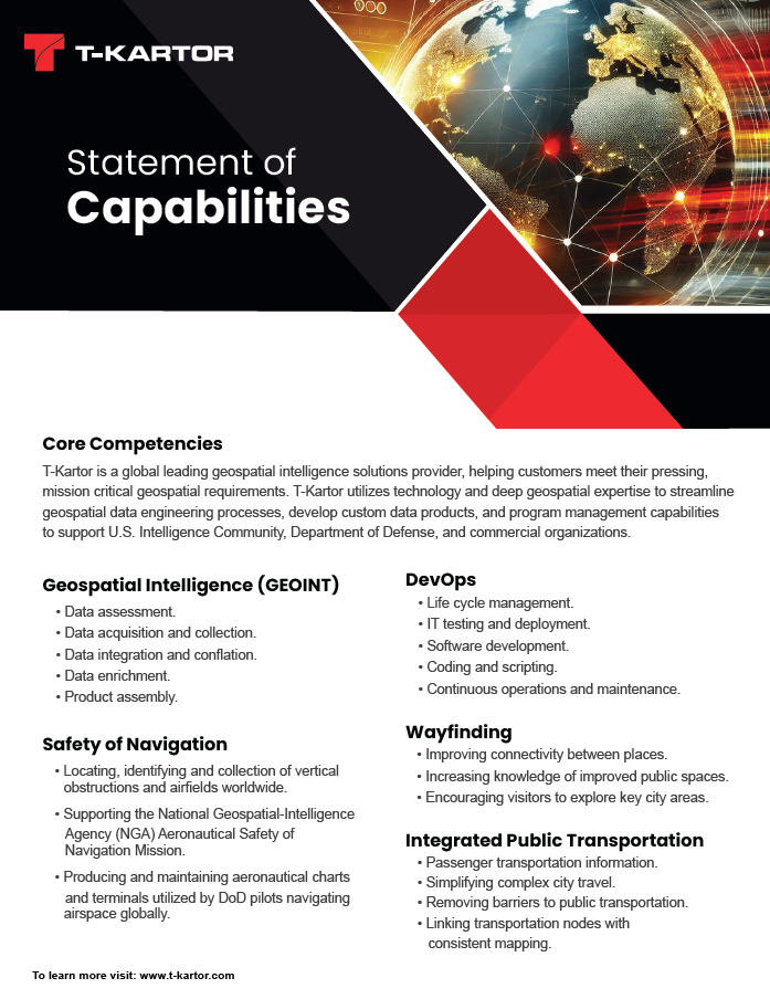
Our Capabilities Brief
Uncover the full range of T-Kartor’s expertise and how we can drive your success. Download our capabilities brief to see how we deliver innovative solutions tailored to your needs.
The Open Source Community
Explore our company overview to learn how we can empower your organization with cutting-edge mapping and location intelligence solutions.
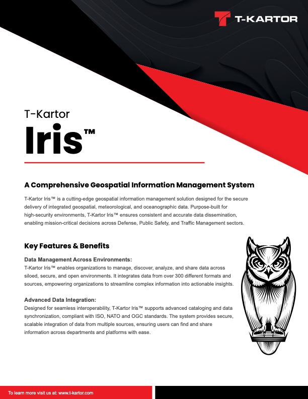
Our Iris Capabilities Brief
T-Kartor Iris™ is a cutting-edge geospatial information management solution designed to securely deliver integrated geospatial, meteorological, and oceanographic data.
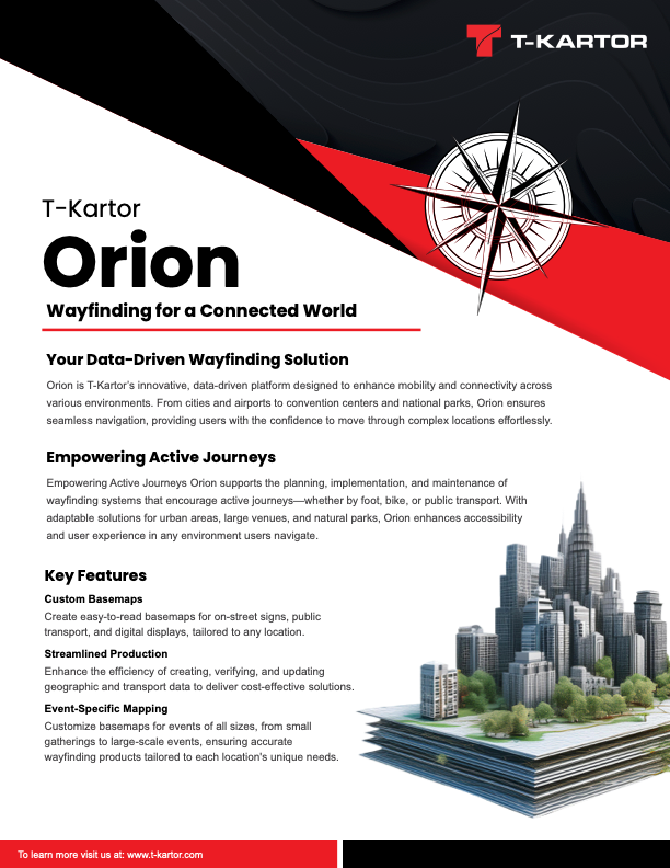
Our Orion Capabilities Brief
Orion is T-Kartor's innovative, data-driven platform designed to enhance mobility and connectivity across various environments.
Our Kraken Capabilities Brief
Kraken is T-Kartor’s advanced automation service for precise, efficient, and scalable conflation of geospatial data, transforming complex datasets into actionable insights.
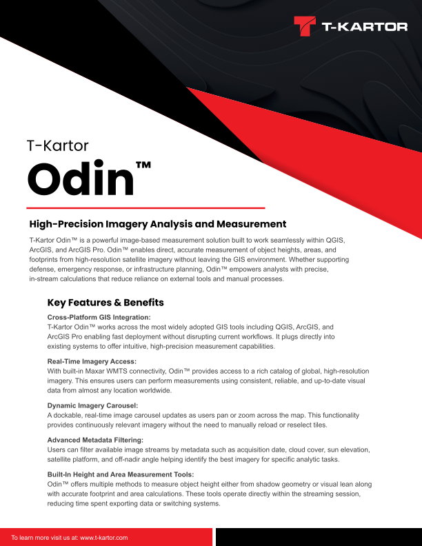
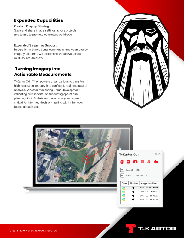
Our Odin Capabilities Brief
Odin is T-Kartor's powerful image-based measurement solution built to work seamlessly within QGIS, ArcGIS, and ArcGIS Pro.


