Blogs, News, & Industry Updates

Trusted Where It Matters Most

When we started working on the next generation of Iris, the goal wasn't to build just another content management platform or data portal. We were trying to solve a deeper, more persistent problem that nearly every organization inevitably faces: the inability to connect information from systems that were never designed to work together in the first place. Whether a government agency manages sensitive spatial data or a coalition of partners responds to a crisis across borders, the challenge is always the same. Data is often stuck in silos, systems are traditionally built by vendors using proprietary formats, and people who need answers fast are left waiting while teams scramble to translate, convert, and clean up the mess. This was the pain point Iris was designed to eliminate.

Th London partnership has opened doors to cities around the world that want to follow London's lead, building walkable, multimodal places.

Geospatial technology is no longer just for scientists and surveyors—it's a powerful business tool that can benefit almost every industry.

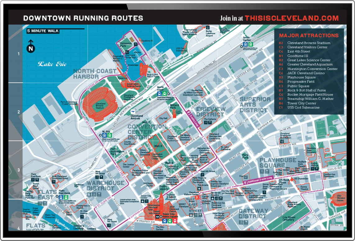
At its core, wayfinding is about understanding our position in relation to a place and planning effective routes.
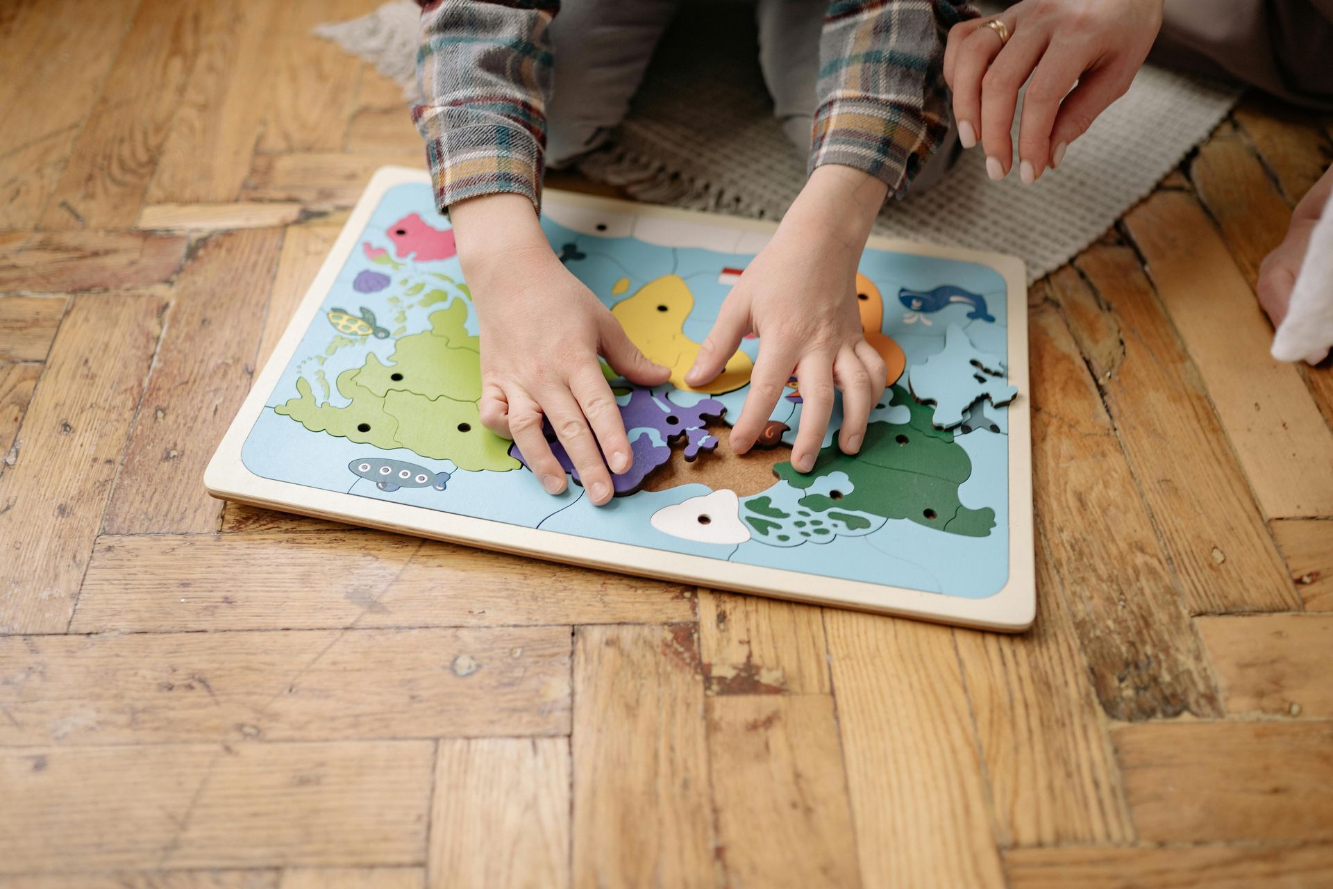
Whether you are a parent who happens to be a geospatial veteran or want to help educate the next generation, check out these ideas to help the next generation develop integral geospatial skills and understanding.
We are thrilled to announce the release of Iris 2.10, our most powerful and feature-rich update yet.
Well-designed geospatial tools help decision-makers absorb information quickly, improve situational awareness, and enhance user experiences.

Whether you're a student charting your career path or a professional looking to pivot into a new industry, there are numerous ways to gain the knowledge and skills needed to thrive in Geospatial.