Teaching the Next Generation of Geospatial Leaders
We've learned the importance of reading to children and introducing math concepts early over generations of children. However, parents can go beyond reading and mathematics – children will respond to many subjects from a young age with proper introductions.
Since geospatial classes are not yet ubiquitous nationwide in elementary and middle schools, why not teach children the foundations until then?
Whether you are a parent who happens to be a geospatial veteran or want to help educate the next generation, check out these ideas to help the next generation develop integral geospatial skills and understanding.
Incorporate Toys in Teaching
Early development psychologists assert that play is one of the most integral parts of learning in early childhood (before they enter kindergarten). Children learn so much about themselves and the world around them through play.
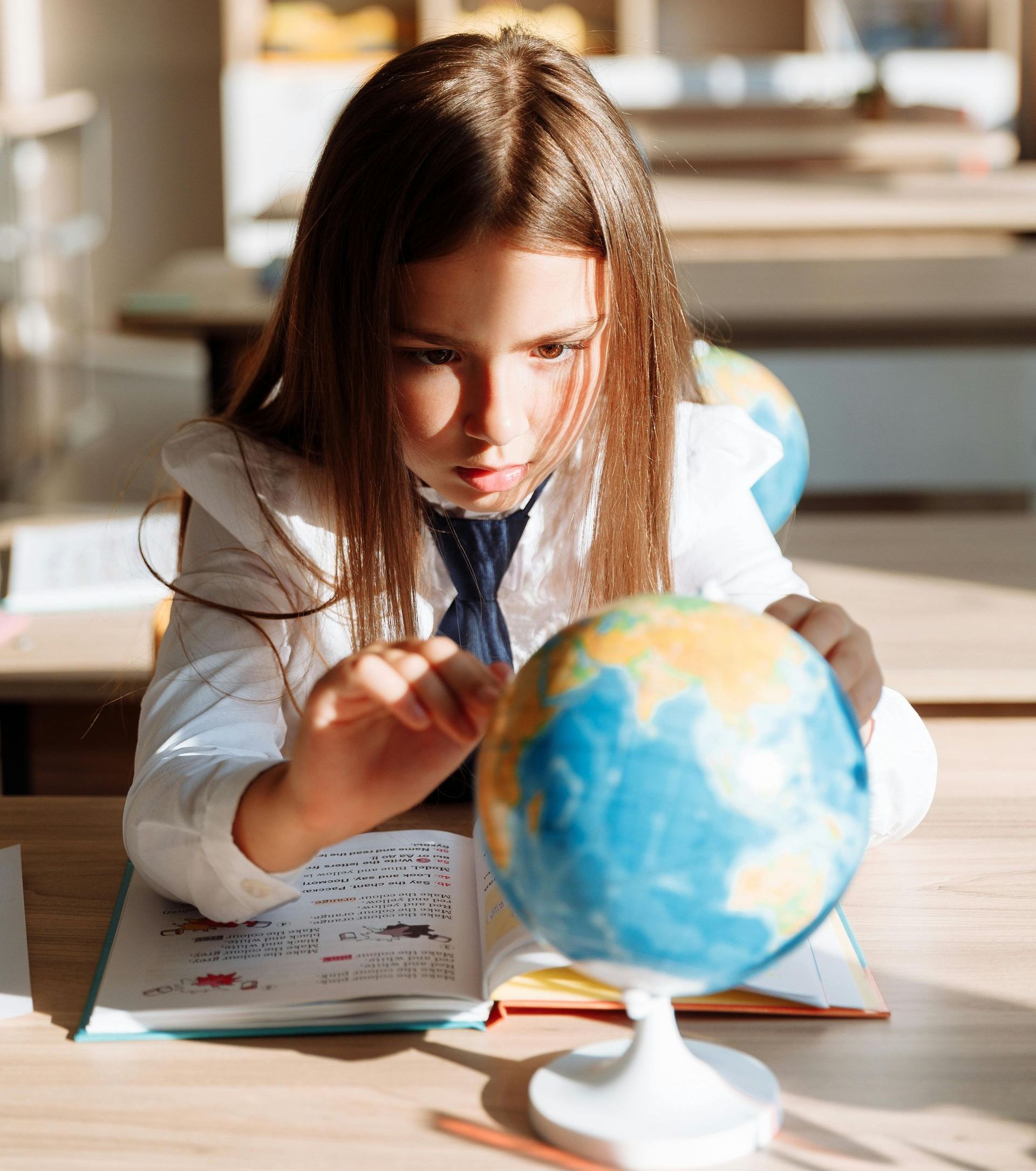
Globes, (age-appropriate) puzzles, board books, and even traditional toy vehicles like trains and cars can help children develop an early sense of geography.
Another idea is to use sidewalk chalk on the driveway to create "roads" for the kids to drive their toy cars!
Teach Map Literacy Early
In addition to all the books your child wants to read, consider throwing a few maps in the shuffle.
Paper or digital maps are visually interesting to children, and even if they may not fully comprehend the text on the map, you can walk them through what they see. They may notice the colors, shapes, and textures on a physical map, which builds the foundation for understanding maps later.
Keep Maps Around the House
When children have books around the house, they pick them up and want to read; the same goes for maps.
Consider including paper or digital maps around the house, in the kid's rooms, playrooms, or even in an office or study. Incorporating maps into your home fosters a natural curiosity and interest in what they entail.
Even if the child isn't initially interested, maps can make beautiful decorations!
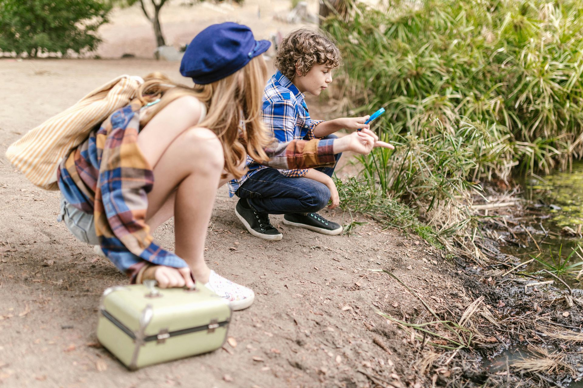
Get Outside & Explore
Getting outside with younger children can sometimes be a hassle, but the benefits are well worth the effort. Whether parents spend time with their children outdoors, in cities, neighborhoods, or elsewhere, they give their children a way to learn about the world around them.
Here are some ideas for getting kids in a geospatial mindset while out and about.
Cities: Look at all the buildings and architecture around you. How are the streets configured? Talk about best safety practices. Look at city maps or directories and challenge them to plan a route somewhere (or use public transportation!).
Neighborhoods: Compare and contrast houses, count the types of trees or gardens they see, examine the roads and sidewalks, map out where rainwater runs, etc. Check out neighborhood parks and other municipal buildings as well.
Nature: Look at flora and fauna, name the natural elements you see, watch for animals, and discuss how to find your way around. Challenge them to notice and remember elements around them so that they can easily find their way back.
Orienteering
Orienteering is a navigation sport with Swedish roots. Clubs worldwide practice it. Orienteering involves using a map and a compass to find control points in unfamiliar terrain while moving quickly.
While this sport may be intense for younger children or teens, there are also activities like orienteering in scouting, geocaching, or even planning a hike using a compass. The idea is to encourage kids to learn how to navigate unfamiliar terrains and areas without using mobile phones or GPS devices.
Enjoying the fundamental skills of orienteering (using a map and a compass) can create a love for geography and the outdoors that may one day translate into a career in geospatial.
Create Your Own Maps
While geospatial is highly technical in many projects, creativity always goes a long way (in fact, the field tends to attract many with a graphic design background).
Students who can think outside the box can excel in any industry. Try stretching creativity with children by challenging them to create their own physical or digital maps, depending on their age and resources.
Younger children can create maps for the backyard, their favorite park, a relative's house, etc. If they have a favorite book or TV show, you can take it further and encourage them to create a map for that universe.
These challenges will push them to think about what goes into map development and what to include, how to organize map elements, and how to present their map to a reader/user.
Explore Different GIS Programs
One of the best parts of the geospatial industry is how accessible data and programs can be (at least in terms of education!).
If your child's school doesn't offer GIS classes yet, or if your child doesn't have room in their schedule, you can show them programs at home. Let them try ArcGIS Online (be sure you are using it for personal use only and check restrictions), or show them the wealth of open-source databases.
Collaborate With T-Kartor
We hope these ideas and tips will be fruitful in teaching the next generation of geospatial leaders. Though we can never fully know what the industry's future will look like or how new technologies will change the work, we know that the fundamentals of geospatial are great for all children to learn.
T-Kartor provides high-security solutions for the public safety sector, enabling collaboration among public safety agencies, crisis management teams, and civil defense organizations through secure information sharing and decision support.
Contact us today to learn more!