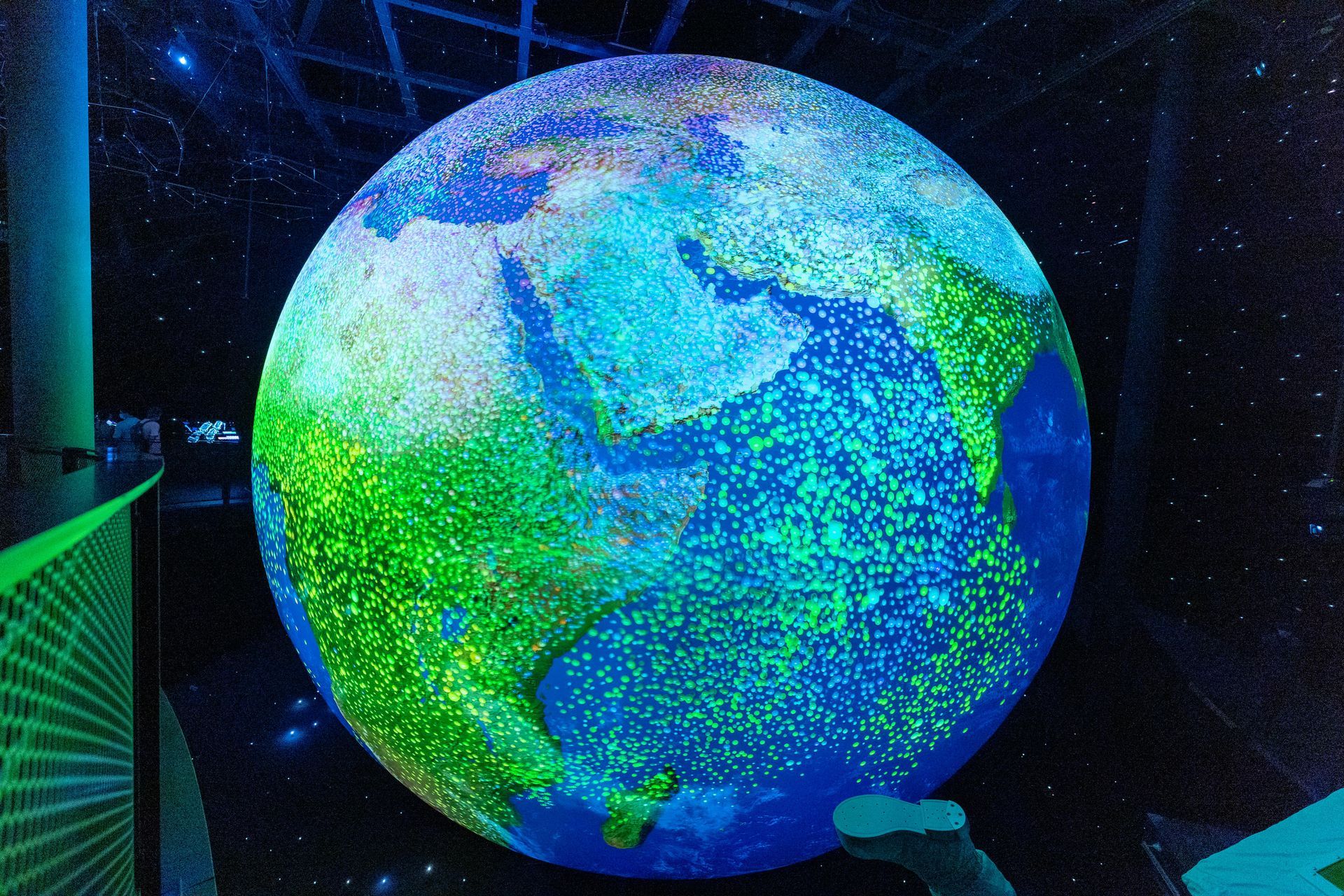
Geospatial Technology We Use Daily
When was the last time you shared your location with someone in a text message? How often do you geotag locations when you post on social media? Do you check a mass transit app to see how close the subway is to the station? Every time you depend on your phone or computer for location-based or geographic data, you’re tapping into geospatial tech.
The truth is that there are more opportunities than ever for businesses and organizations to gather geospatial data from the general public – their customers. Geospatial tech is integrated into our daily lives with a growing number of applications.
Keeping the Community Moving
Transit and transportation systems in metropolitan cities all over the country use geospatial intelligence systems and technology to monitor the condition and progress of thousands of miles of underground and above-ground subway tracks. Drones with GPS capabilities are also used to check all conditions instead of manual inspectors traveling dangerous trails.
Utility companies also use geospatial technology. Municipal water providers use geospatial mapping to improve infrastructure and optimize location-based projects. GIS technology captures images that track water levels, environmental conditions, and weather patterns that may impact the water supply for communities.
Government organizations, as mentioned above, use geospatial technology in several ways. Detailed mapping information of cities and communities prioritizes improvement projects and keeps community members safe. For decades, the military has relied on unique technology to protect the country and its assets.
Keeping Communities Safe
During times of crisis, government officials must regularly and consistently update communities on conditions. First responders and public officials will need (and contribute) essential data that will help those at the epicenter. Crisis mapping as a disaster response uses a variety of data sources and channels, including public and crowdsourced information.
Crisis mapping was first used after the devastating earthquake in Haiti in 2010. Responders started with infrastructure mapping and added different maps to create a resource that everyone and anyone could use.

Making Cities Smarter
Geographic information systems (GIS) are the backbone of smart city initiatives, providing location-specific information hyper granular and contextualized. GIS maps offer a visual way to convey complex data to those involved in the planning process with every level of technical knowledge — including smart city constituents. GIS also allows emergency response managers to predict and track elements like extreme weather and natural disasters.
Supporting Local Business Growth
Businesses are also increasingly using geospatial data in conjunction with machine learning and artificial intelligence in several applications. For example, insurance companies show climate change and extreme weather events will increase or decrease the risk for specific geographical regions and adjust premiums accordingly.
Beacons, smartphones, and wearables are becoming geospatial tech that helps round out the customer experience. Retailers can get a comprehensive look at how shoppers move, how much time they spend in stores, which store locations they choose most, and other behavior that helps brands shape product development and brand expansion.
Helping With Professional Growth
As GIS is applied to more and more industries, there are various ways GIS professionals can approach a career. Along with developing technical skills, it’s crucial for your personal and professional growth to consider building non-technical and soft skills. Start by joining industry organizations like URISA or GITA to take advantage of the tools they offer and networking opportunities.
Whether you’re looking for geospatial tools for your business or considering a career in geospatial intelligence, you have plenty of options. Don’t hesitate to reach out to our team to talk about mapping your career and the options you have.
Company
Industries
Copyright T-Kartor Inc. All Rights Reserved.


