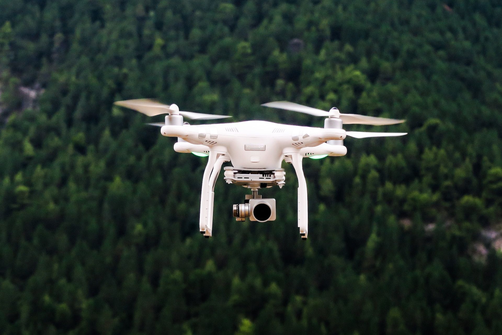
Innovations in Drones and GIS Mapping
Geospatial technology gives us ways to see our world in infinite ways. One of these tools which is continually advancing is the drone. They offer improvements to GIS mapping technology, stunning photographs, and even the opportunity to transport items. While satellites are still the best option to document larger areas, drones can benefit smaller-scale projects. Let’s look at some ways in which drones and GIS work together.
Advancements in Crop Surveys
The ever-increasing global population necessitates sustainable agricultural practices. Crop surveys have emerged as a critical tool for modern farming, enabling informed decisions and optimized resource allocation. Geospatial companies leverage drones and GIS mapping to reimagine traditional crop surveys.
Drones with advanced cameras and sensors capture real-time crop health and growth data. This data is seamlessly integrated into geographic information systems (GIS), enabling remote monitoring and targeted interventions. The result is enhanced yields and reduced costs, thanks to data-driven decision-making.
Mapping the Airspace: Enhancing Safety and Efficiency
The rapid proliferation of drones has posed a unique challenge: managing crowded airspace. Geospatial experts address this challenge through meticulous airspace mapping solutions. These maps guide drone operators, ensuring safe navigation, avoiding restricted zones, and adhering to regulations.
Accurate airspace mapping not only ensures the safety of public airspace but also aids in designing flight paths and delineating no-fly zones . This seamless integration is crucial for the harmonious coexistence of drones and existing aviation activities.
Event Mapping for Effective Management
From bustling city events to expansive festivals, efficient event management requires meticulous planning and coordination. Geospatial companies bring their drone and GIS mapping expertise, offering insights that elevate event planning to new heights.
Drones capture real-time data on crowd density and movement, providing invaluable insights for organizers. Beyond crowd management, event mapping facilitates emergency response planning and infrastructure setup. Accurate event maps enable optimal resource allocation, smooth attendee experiences, and streamlined emergency preparedness.

Minimizing Environmental Impact through GIS Mapping
Environmental conservation stands as a paramount concern. Geospatial experts harness GIS mapping to assess and mitigate environmental impact. Drones with advanced sensors gather critical data to monitor ecosystems, identify conservation areas, and evaluate human activities’ ecological effects.
Collaborations with environmental organizations and governmental bodies leverage this data to inform policies and actions for environmental preservation. By shedding light on our planet’s health, geospatial experts contribute to a sustainable future.
Safety and Damage Surveys in Crisis Situations
In times of crisis, swift response is imperative. Geospatial companies extend their disaster response and recovery capabilities through drones and GIS mapping. Drones with high-resolution cameras survey affected areas, capturing vital data on damages and infrastructure status. This data equips first responders with essential information for resource allocation and emergency response prioritization. Additionally, this data supports insurance claims and accelerates recovery efforts, underscoring the pivotal role of geospatial expertise during crises.
Looking Forward
The fusion of technology and expertise has placed geospatial companies at the forefront of innovation. Their contributions transcend sectors, from boosting agricultural productivity to ensuring event safety, minimizing environmental impact, and supporting disaster response.
This commitment to excellence underpins a deeper understanding of our interconnected world. The transformation brought about by these geospatial experts paves the way for a safer, more efficient, and sustainable future.
Work With T-Kartor USA
Beyond its innovations with drones, geospatial technology brings benefits and innovations to countless areas. At T-Kartor USA, our expert teams work on projects and development in defense, city wayfinding, satellite imaging, and more. If you are interested in working with us or have any geospatial questions, contact us today!