Geospatial Intelligence: From Maps to GIS
From our earliest civilizations to the modern era, maps have been indispensable tools for helping humans understand the world around them. Primitive, hand-drawn maps of stone or paper tell stories and give us a glimpse into the past. Examining our current digital maps and GIS programs gives us a glimpse into the future.
Let’s briefly examine how the geospatial industry has evolved over the years.
The Era of Paper Maps
The story begins centuries ago, with the dawn of cartography. Early mapmakers painstakingly crafted intricate depictions of the world on parchment and paper. These paper maps, often compiled into atlases, were indispensable navigation, exploration, and commerce tools.
However, limitations bound them; they were static, cumbersome, and prone to inaccuracies. Paper maps took time to update, and updates took time to reach different regions. The need for a more dynamic and adaptable solution was evident.
Transition to Digital Maps
The advent of digital mapping technologies heralded a new era in geospatial innovation. With the rise of computers and digital data processing, cartographers began digitizing maps, laying the groundwork for the development of GIS. GIS revolutionized the field by providing a framework for organizing, analyzing, and visualizing spatial data.
Suddenly, maps were more than just static images; they became interactive, dynamic representations of reality, capable of integrating vast amounts of information for enhanced decision-making.
Growth of GIS Programs
As GIS technology advanced, its applications diversified across a myriad of industries. From urban planning to environmental management, agriculture to disaster response, GIS entered virtually every imaginable sector. With the integration of remote sensing data and the evolution of GIS software features such as spatial analysis and 3D mapping, the capabilities of geospatial technology soared to new heights.
Today, GIS programs empower organizations with the tools to unlock insights, optimize operations, and drive innovation.

Specialization in Military Projects
One of the most notable areas where geospatial technology has profoundly impacted is the realm of military operations. Military agencies harness the power of geospatial intelligence (GEOINT) to gain critical insights into terrain, infrastructure, and enemy movements. Specialized tools and techniques enable military analysts to conduct geospatial analysis with unparalleled precision, informing strategic decisions and enhancing situational awareness on the battlefield. The integration of GIS into military operations has revolutionized warfare, shaping tactics and reshaping the geopolitical landscape.
Diversification into Urban Planning and Wayfinding
Beyond the battlefield, geospatial technology plays a pivotal role in shaping the cities of tomorrow. Urban planners utilize GIS to model urban environments, optimize infrastructure, and plan sustainable development projects. Meanwhile, advancements in city wayfinding and navigation systems have transformed how people navigate urban spaces, offering real-time directions, traffic updates, and points of interest at their fingertips. With GIS, cities are not just static entities but dynamic ecosystems, constantly evolving and adapting to the needs of their inhabitants.
Future Trends and Innovations
Looking ahead, the future of geospatial technology promises even more significant advancements. Emerging technologies such as artificial intelligence, machine learning, and big data analytics are poised to revolutionize GIS, unlocking new insights and possibilities. Augmented and virtual reality offer exciting opportunities for immersive geospatial visualization, enabling users to interact with spatial data in unprecedented ways. As the boundaries of geospatial technology continue to expand, so too do the opportunities for innovation and discovery.

Work With T-Kartor
The evolution of geospatial technology from paper maps to GIS programs is a testament to the power of human ingenuity and the relentless pursuit of progress. With each new advancement, we inch closer to a future where the boundaries of possibility are limited only by our imagination.
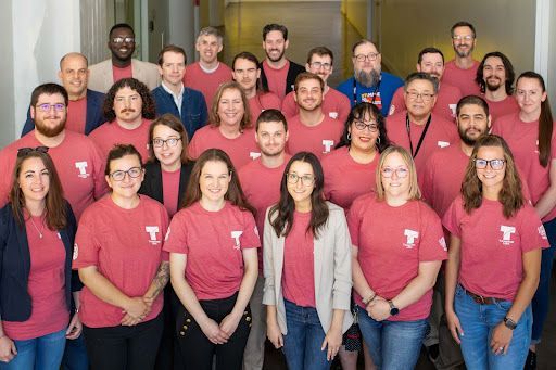
At T-Kartor, our expert teams work on projects and development in defense, innovation, satellite imaging, and more. If you are interested in working with us or have any geospatial questions, contact us today!


