How Militaries Use Geospatial Technology
Geospatial data and technology can influence every field on the planet. However, some industries, including the military, have adopted geospatial technology quicker than others. Government contractors and departments within the military use geospatial technology to improve operations and carry out missions.
While many of the projects militaries use geospatial technology on may be classified, we can still explore an overview of how geospatial tech is integrated into militaries worldwide.
Strategic Planning and Decision Making
Geospatial intelligence (GEOINT) is vital for strategic planning and operational decision-making. Military leaders can comprehensively understand the operational environment by analyzing satellite imagery, terrain data, and other GEOINT information. This knowledge is crucial for assessing potential threats, determining the best routes for advancement or retreat, and planning logistics.
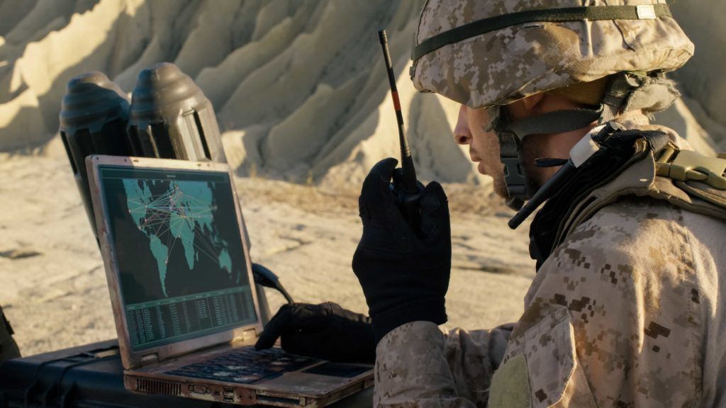
Geospatial data allows commanders to visualize the battlefield, anticipate enemy movements, and make informed decisions that maximize operational effectiveness while minimizing risks.
Surveillance and Reconnaissance
Surveillance and reconnaissance are fundamental to military operations, and geospatial technology is central to these activities. Satellites, unmanned aerial vehicles (UAVs), and other remote sensing tools continuously monitor enemy movements, installations, and activities.
High-resolution imagery and real-time data streams enable the military to identify and track targets, assess enemy capabilities, and evaluate mission success. This constant flow of information is critical for maintaining situational awareness and adapting strategies in response to evolving threats.
Navigation and Targeting
Accurate navigation and targeting are essential for mission success, and geospatial technology provides the precision needed for these tasks. Global Positioning System (GPS) technology allows troops, vehicles, aircraft, and missiles to navigate accurately; this ensures that military assets reach their intended destinations without error, reducing the risk of collateral damage and enhancing the effectiveness of operations.
Geospatial data allows for precise identification and engagement of enemy positions in targeting, ensuring that strikes are accurate and effective.
Battlefield Management
Real-time geospatial data supports battlefield management systems, giving commanders a comprehensive view. These systems integrate data from various sources, including satellite imagery, drone feeds, and ground reports, to create a dynamic and detailed operational picture. Commanders can monitor troop movements, track enemy positions, and manage real-time logistics; this enhanced situational awareness allows for more effective coordination and execution of military operations, improving overall battlefield efficiency and effectiveness.
Logistics and Supply Chain Management
Efficient logistics and supply chain management are critical for sustaining military operations, and geospatial data is crucial. By analyzing transportation networks, terrain, and weather conditions, military planners can optimize routes and ensure timely delivery of supplies, equipment, and reinforcements.
Geospatial technology also aids in monitoring the status and location of assets, reducing the risk of supply chain disruptions. This capability is critical in remote or hostile environments where traditional supply lines may be vulnerable.
Disaster Response and Humanitarian Aid
The military often plays a crucial role in disaster response and humanitarian aid missions, and geospatial technology is invaluable in these efforts. In the aftermath of natural disasters or humanitarian crises, geospatial data helps assess the extent of damage, identify affected areas, and plan relief operations.
Satellite imagery and aerial surveys provide detailed information on infrastructure damage, population displacement, and road and facility accessibility. This information enables the military to coordinate aid distribution, plan evacuation routes, and prioritize rescue operations, ultimately saving lives and alleviating suffering.
Training and Simulation
Geospatial data creates realistic training environments and simulations that prepare troops for various scenarios. These simulations enhance military personnel’s readiness and effectiveness by replicating the geographical and tactical conditions they might face in real operations.
Virtual training environments allow troops to practice navigation, target identification, and tactical maneuvers in a controlled setting, reducing the risk of errors in actual combat situations. This training is crucial for building the skills and confidence needed to operate effectively in complex and dynamic environments.
Cyber Warfare and Electronic Warfare
Geospatial intelligence also supports cyber and electronic warfare operations. By mapping out cyberinfrastructure, identifying critical nodes, and analyzing network topologies, geospatial data helps military cyber units plan and execute operations; this includes defensive strategies, such as protecting vital assets and identifying potential vulnerabilities, and offensive strategies, such as disrupting enemy communications and targeting cyberinfrastructure.
In electronic warfare, geospatial data aids in locating and neutralizing enemy electronic systems, enhancing the military’s ability to control the electromagnetic spectrum.

Connect With T-Kartor
Integrating geospatial data, technology, and intelligence has transformed military operations, providing unprecedented situational awareness, precision, and efficiency. As technology advances, the role of geospatial intelligence in military operations will only grow, further enhancing the effectiveness and resilience of armed forces worldwide.
At T-Kartor, our expert teams work on projects and development in defense, innovation, satellite imaging, and more. If you are interested in working with us or have any geospatial questions, contact us today!