

Ultimate GIS Glossary
It’s easy to think that the world of geospatial is just maps and data, but the truth is that it goes much deeper than that. Before your organization undertakes a GIS project, it’s important to sharpen your understanding of what it entails. While the list isn’t comprehensive, it’s a good beginning on the fundamentals.
American Standard Code for Information Interchange (ASCII): This file format uses a set of numbers between 0 and 255 for information storage and processing.
Aspect: Aspect is the slope direction on a terrain surface measured clockwise starting north as 0° to 360° north again with flat areas given a value of -1 or 0 degrees.
Basemap: This is a background, non-editable, georeferenced image that gives a point of reference on a map, providing an aesthetic appeal.
Benchmark: Precisely surveyed points usually marked with a metal disk in the ground also genetically called survey marks, geodetic marks, and control stations.
Buffer: The buffer tool is a proximity function that creates a polygon at a set distance surrounding a selected feature or features.
Cartography: The study, aesthetics, and science of representing real-world entities on maps by communicating spatial information.
Computer-Aided Design/Drafting (CAD): Primarily used by engineers and architects to produce two and three-dimensional drawings.
Coordinates: Coordinates are pairs (X, Y) or triplets (X, Y, Z) of values that are used to represent points and features on a two and three-dimensional space.
Database Management System (DBMS): A collection of tools that allows the entry, storage, input, output, and organization of data, serving as an interface between users and databases.
Digital Line Graph (DLG): Data format used and distributed by the United States Geological Survey (USGS) with geographic features like terrain, hydrography, transportation, and man-made landmarks.
Entity: Entities represent real-world point, line, or polygon features with a geographic location such as fire hydrants, hospitals, state boundaries, roads, rivers, lakes, etc.
Feature: A cartographic point, line, or polygon object with a spatial location in the real-world landscape that can be used in a GIS for storage, visualization, and analysis.
Field (Attribute Table): Characteristics used to describe each feature in a geographic data set usually viewed as columns in a table.
Geocoding: Geocoding is the process of assigning geographic coordinates to places based on street address, town/city, province/state, and country.
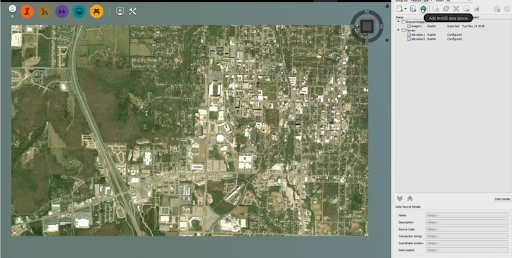
Geographic Information Systems (GIS): Computer-based tool that analyzes, stores, manipulates, and visualizes geographic information on a map, good for finding spatial patterns, relationships, and trends.
Hydrography: A term describing the geographic representation of water features such as streams, rivers, and lakes.
Latitude: Coordinates of Earth locations that vary in north-south directions ranging from 0° at the Equator to 90° (North or South) at the poles.
Longitude: Coordinate in east-west directions ranging from 0° to +180° east and −180° west.
Map Legend : A visual graphic of the symbology used in a map that tells the map reader what polygons, lines, points, or grid cells represent.
Metadata: Data that describes data such as the date, abstract, coordinate system, attribute information, origin, and accuracy.
Nominal Scale: Type of measurement that indicates the difference between classes or categories of data.
Object-Based Image Analysis (OBIA): Image classification technique that segments images and classifies it using spectral, spatial, and relational properties and characteristics.
Parallax: Measures the apparent shift in relative positions of Earth features when it is viewed in different locations.
Polygon: A closed, connected set of lines that defines a geographic boundary with an area and perimeter such as lakes, forests, and country boundaries.
Query: A request or search of spatial or tabular data based on user-defined criteria, resulting in a subset of selected records.
Raster Data: A data model used in GIS which is usually regularly-size rectangular or square-shaped grid cells arranged in rows in columns.
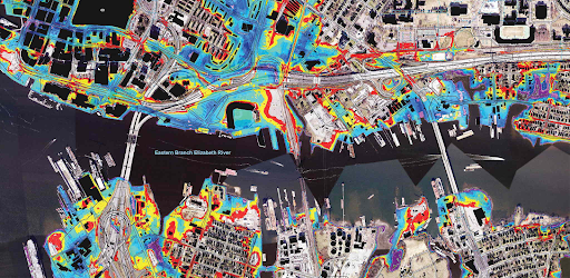
Remote Sensing: The science of obtaining information about the Earth without physically being there, such as by satellite, unmanned aerial vehicle, and aircraft.
Slope: The change in elevation or steepness with respect to change in location measured in degrees or percent slope.
Spherical Coordinates: A system based on a sphere defined by two angles of rotation in orthogonal planes such as latitudes and longitudes in a geographic coordinate system.
Thematic Layer: A distinct spatial entity in a data layer that is usually delineated as points, lines, and polygons.
Topography: The study and mapping of Earth’s features including land surfaces, relief, natural, and constructed features.
Vector Data Model: Common GIS feature representation of spatial information based on defining coordinates and attribute information in points, polylines, and polygons.


