How Geospatial Data Is Transforming The Transportation Industry
Our world never stops moving, and the intricacies of the transportation sector exhibit this every day. Transportation is evolving rapidly, largely thanks to geospatial data and technology innovations. People, products, and ideas move around the globe through land, air, space, and sea – and geospatial data can track and optimize these movements. Let’s look at how the geospatial industry is transforming the transportation industry.
Geospatial Benefits in Transit
Public transportation is the lifeblood of urban centers, and geospatial technology is reshaping its landscape. Real-time tracking and monitoring systems empower commuters with accurate arrival times, reducing uncertainties and improving overall passenger experience. Transit agencies are optimizing routes, minimizing travel time, and enhancing operational efficiency through sophisticated geospatial planning tools; this ensures punctuality and identifies high-demand areas for improved service coverage, fostering accessibility and inclusivity in transit networks.
Geospatial Advancements for Roads and Highways
Intelligent traffic management systems powered by geospatial data are revolutionizing how we navigate roads and highways. Dynamic traffic signal control reduces congestion, while real-time incident detection enhances safety. Predictive maintenance based on geospatial insights helps identify and address potential issues before they escalate, improving road longevity and reducing repair costs. Furthermore, geospatial data is pivotal in urban planning, optimizing road layouts and traffic flow for more innovative, sustainable cities.

Geospatial Applications in Airports and Aviation
Airports, the bustling hubs of global connectivity, benefit immensely from geospatial advancements. Runway and airspace management systems optimize runway utilization, increasing overall capacity and enhancing air traffic control efficiency. Geofencing technologies, powered by geospatial data, secure critical airport areas, preventing unauthorized access. Additionally, indoor mapping and real-time updates on gate changes and flight information improve the passenger experience, making air travel more seamless.
Geospatial Solutions for Ports
Geospatial technology plays a crucial role in vessel tracking and port management in maritime transportation. Real-time monitoring facilitates better marine traffic coordination, enhancing cargo handling efficiency. Geospatial data also aids in environmental monitoring, ensuring ports comply with regulations and minimize their impact on surrounding ecosystems. Integrating geospatial solutions transforms ports into efficient and sustainable global trade hubs.
Geospatial Innovations in Railways
Railways are experiencing a renaissance with the integration of geospatial innovations. Asset tracking and predictive maintenance based on geospatial data ensure the efficient operation of tracks, signals, and rolling stock. Route optimization for freight and passenger trains maximizes efficiency and minimizes delays, contributing to the overall capacity of the railway network. Geospatial technology is propelling railways into a new era of reliability and sustainability.
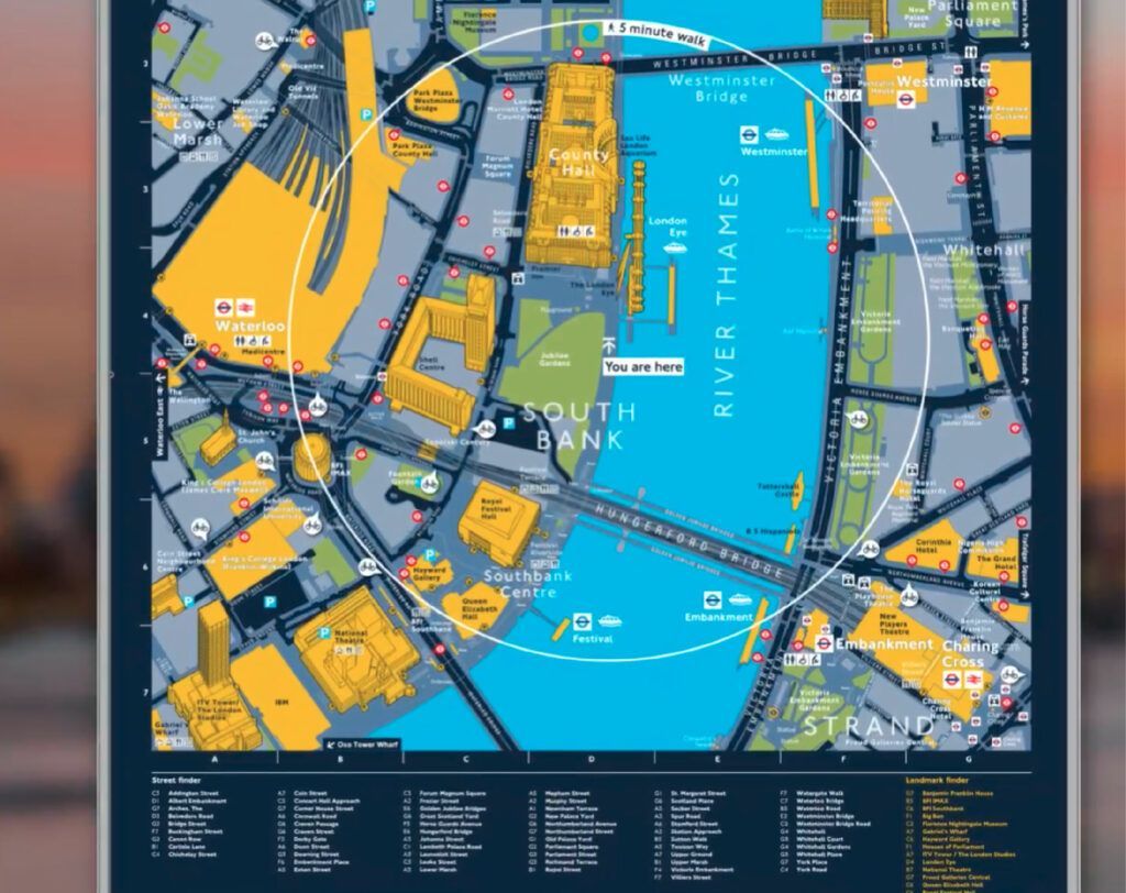
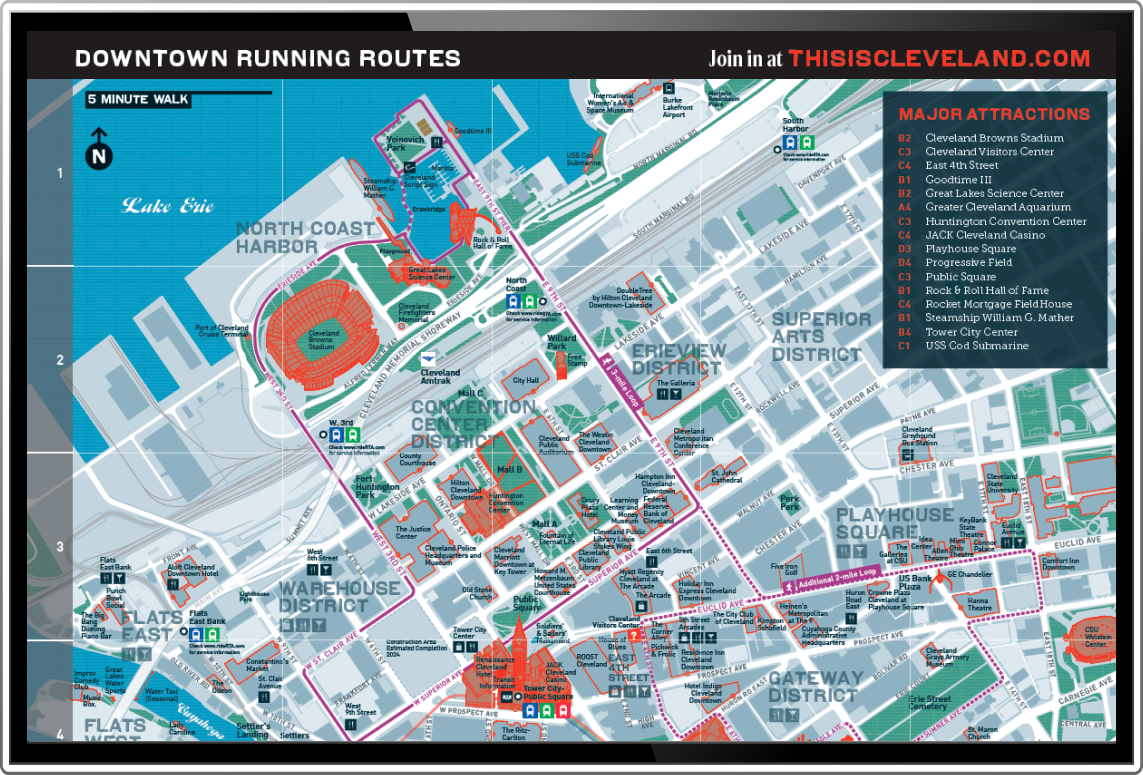
Pedestrian Wayfinding and Biking
In urban planning, geospatial solutions promote pedestrian-friendly environments and support active transportation initiatives. Geospatial tools optimize pathways, making cities more walkable and fostering healthier communities. Biking route planning and safety are enhanced through real-time updates on bike lane conditions and potential hazards, encouraging more people to embrace eco-friendly modes of transportation.

Work With T-Kartor US
The geospatial revolution reshapes the transportation sector, creating a future where efficiency, safety, and sustainability merge. As we navigate the challenges of tomorrow, integrating geospatial solutions will continue to be a cornerstone in building more innovative, more connected, and resilient transportation systems. Embracing this revolution ensures that our journeys, whether by land, air, or sea, are efficient and sustainable, setting the course for a brighter and more connected future.
At T-Kartor, our expert teams work on projects and development in defense, innovation, satellite imaging, and more. If you are interested in working with us or have any geospatial questions, contact us today!
Company
Industries
Copyright T-Kartor Inc. All Rights Reserved.


