The Interdisciplinary Nature of the Geospatial Industry
When we speak about the geospatial industry, there’s much discussion on how many different areas of study can intersect with it. And this makes sense: when we map out our world, we can understand regions in new ways and embark on all types of projects.
The geospatial industry is indeed interdisciplinary, from the kinds of projects that GIS can strengthen to the design of geospatial technology. Let’s look at some fields that commonly intersect with the geospatial industry and discuss their impact.
Art
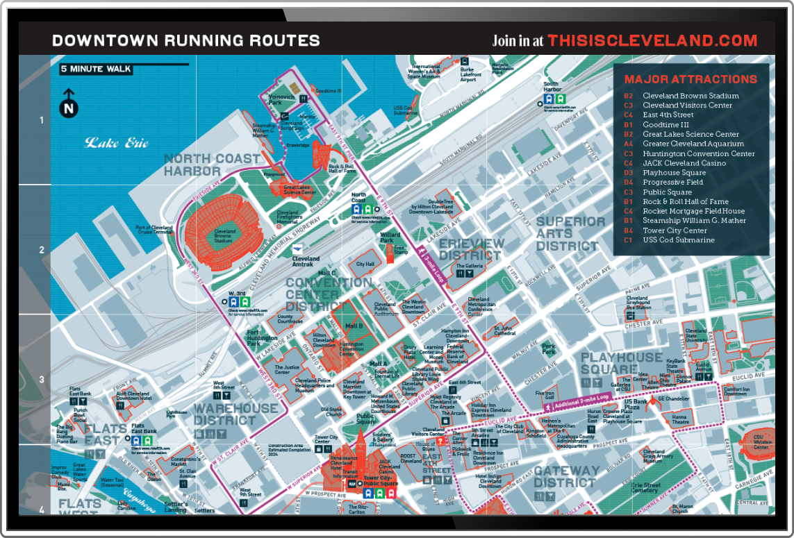
Ask cartographers worldwide, and they’ll tell you that map-making is an art. Landforms and surface features are most accessible when a map has thought behind the design. Digital maps follow the same idea – colors, icons, space, and other design choices influence how people read a map. Many geospatial analysts and developers have art or graphic design backgrounds, which enhances their work.
Architecture + Urban Planning
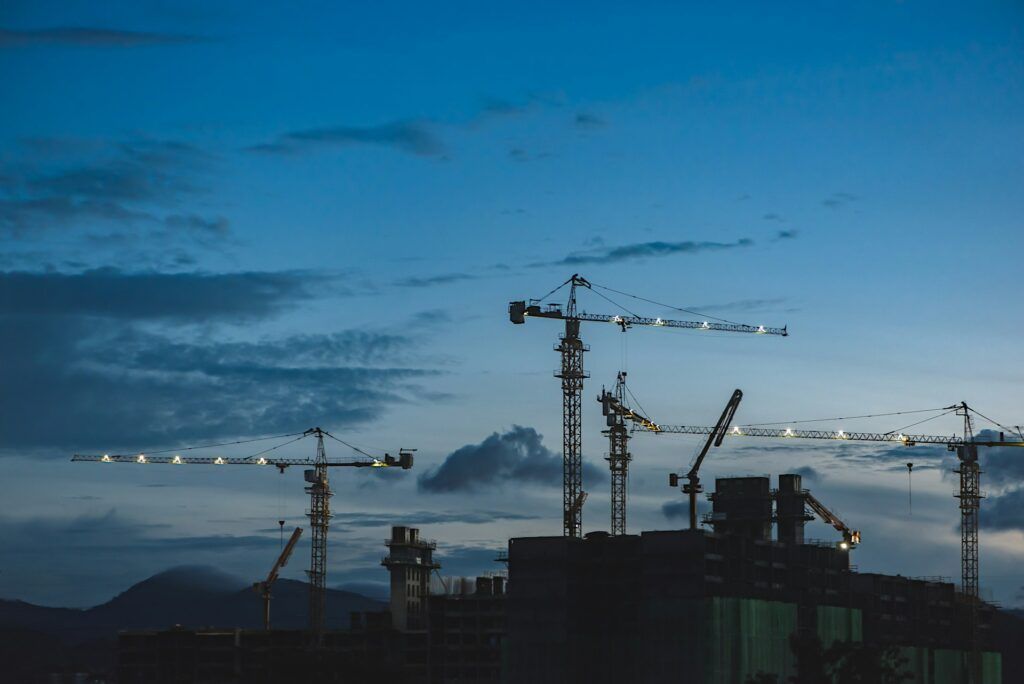
Architects and urban planners use 3-D modeling/CAD programs for much of their work. These programs can work with GIS to create innovative and functional designs for individual buildings and whole communities. When architects work on a single building, seeing the building in a broader area can help the project.
Meteorology + Climatology
Meteorologists can benefit from incorporating radars and past weather patterns with GIS programs. There are also ways to estimate and simulate how a specific weather event could affect a given area. From an emergency response standpoint, understanding the fastest way to disseminate information or where to set up shelters during severe weather is also critical. Similarly, climatologists can integrate their studies with geospatial data to plan for areas experiencing climate change challenges (e.g., coastal cities).
Engineering
Many engineering degree programs now include GIS classes (particularly civil engineers). Utilizing GIS can help engineers ensure their project meets zoning requirements, is economically feasible, and can conduct environmental impact analyses. Geospatial data can also be invaluable to engineers rebuilding after an accident. Overall, if you can build it, it’s worth seeing on a map.
Public Safety
Public safety always has room for improvement. When local police departments and city government offices integrate GIS programs into their operations, they can analyze where and when crimes and dangerous activities occur. Emergency response time is also crucial to public safety, and geospatial tools can offer insight into the most propitious communication methods.
Public Health
If there’s one subject many more people are tuning in to worldwide after the last few years, it’s public health. Geospatial data and tools can help, Whether it’s smaller-scale public health initiatives or tracking epidemiological data across a region. GIS can also find related environmental stressors that could contribute to public health issues in a community. When we combine public health research findings with geospatial tools, we build a healthier future.
Conservation
Geospatial data and technology are pivotal in conservation efforts by providing invaluable insights into the Earth’s ecosystems. Through satellite imagery, GIS mapping, and remote sensing technologies, conservationists can monitor changes in land use, track wildlife populations, and identify areas of ecological significance. This data enables targeted conservation interventions, such as habitat restoration, protected area management, and anti-poaching efforts.
Additionally, geospatial tools facilitate collaboration among stakeholders, allowing for informed decision-making and implementing sustainable practices. By harnessing the power of geospatial data and technology, conservationists can work more effectively to protect biodiversity and safeguard our planet for future generations.
Geology/Geoscience
Geospatial data intersects with geology and geoscience in multifaceted ways, enhancing our understanding of Earth’s dynamic processes and geological features. Scientists can create detailed maps of terrain, formations, and subsurface structures by integrating satellite imagery, LiDAR (Light Detection and Ranging), and GPS (Global Positioning System) data with geological datasets.
This information aids in geological mapping, mineral exploration, and hazard assessment, allowing for more accurate predictions of natural phenomena like earthquakes, landslides, and volcanic eruptions. Geospatial analysis also facilitates the study of landscape evolution, climate change impacts on geological processes, and the identification of potential groundwater resources.
Transportation
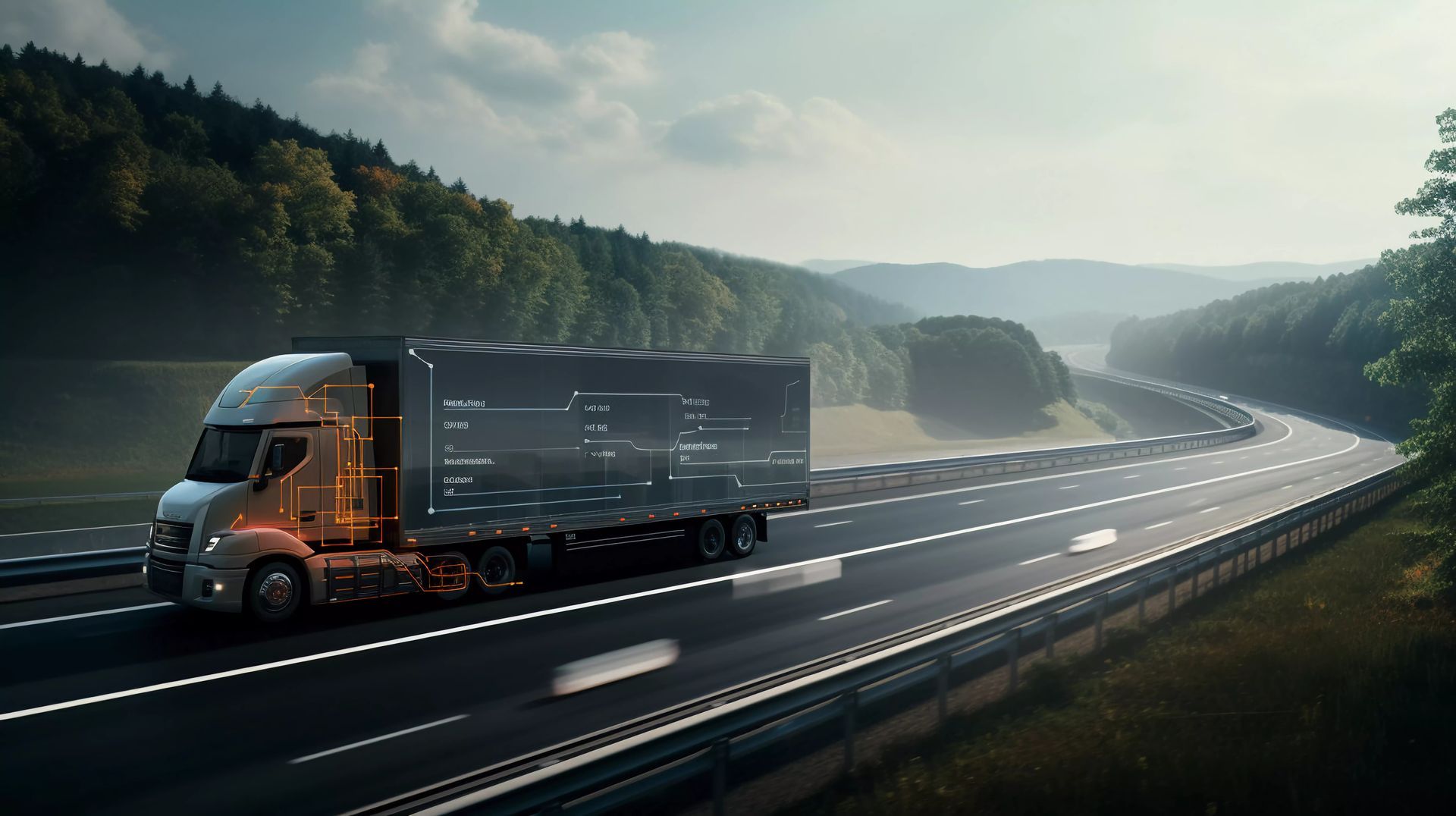
Transportation is already benefitting exponentially from geospatial tools. The world keeps moving, and so do vehicles. Are you planning the most efficient logistics route for overland trucks? Are you discovering where your vendors and suppliers land in the supply chain? Geospatial technology can provide answers to these questions. Check out our previous blog post for more thoughts on how geospatial is transforming the transportation industry.
Work With T-Kartor
At T-Kartor, our expert teams work on projects and development in defense, innovation, satellite imaging, and more. If you are interested in working with us or have any geospatial questions, contact us today!

Company
Industries
Copyright T-Kartor Inc. All Rights Reserved.


